File:Lytchett Matravers- detail of Higher Cross finger-post - Geograph - 1741476.jpg
Jump to navigation
Jump to search

No higher resolution available.
Lytchett_Matravers-_detail_of_Higher_Cross_finger-post_-_Geograph_-_1741476.jpg (640 × 480 pixels, file size: 73 KB, MIME type: image/jpeg)
| |||||||||||||||||||||||||
|
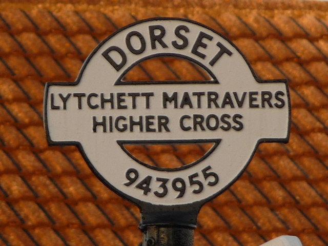
Galleries | Higher Cross | Dorset | Fingerpost | ||
File history
Click on a date/time to view the file as it appeared at that time.
| Date/Time | Thumbnail | Dimensions | User | Comment | |
|---|---|---|---|---|---|
| current | 20:46, 25 September 2016 | | 640 × 480 (73 KB) | C2r (talk | contribs) | '''Lytchett Matravers- detail of Higher Cross finger-post''' A close-up of the finial of the finger-post, giving location and grid reference details. |
File usage
The following page uses this file: