File:Lytchett Minster (C) Nigel Mykura - Geograph - 2151656.jpg
Jump to navigation
Jump to search

No higher resolution available.
Lytchett_Minster_(C)_Nigel_Mykura_-_Geograph_-_2151656.jpg (640 × 480 pixels, file size: 69 KB, MIME type: image/jpeg)
| |||||||||||||||||||||||||
|
Galleries | B3067 | ||
File history
Click on a date/time to view the file as it appeared at that time.
| Date/Time | Thumbnail | Dimensions | User | Comment | |
|---|---|---|---|---|---|
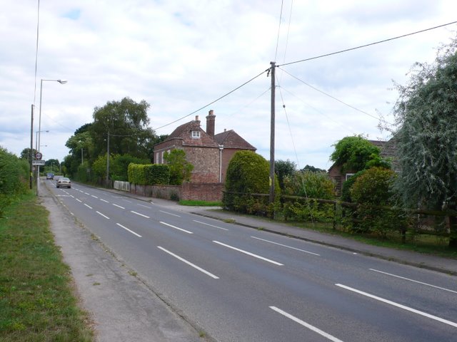
| current | 20:50, 8 November 2013 | | 640 × 480 (69 KB) | Vlad (talk | contribs) | '''Lytchett Minster (C) Nigel Mykura '''<br/>This is the old main road through the village . It used to be the A35 but this now bypasses the village and the road is now the B3067. |
File usage
The following page uses this file:
_Nigel_Mykura_-_Geograph_-_2151656.jpg&oldid=358282)