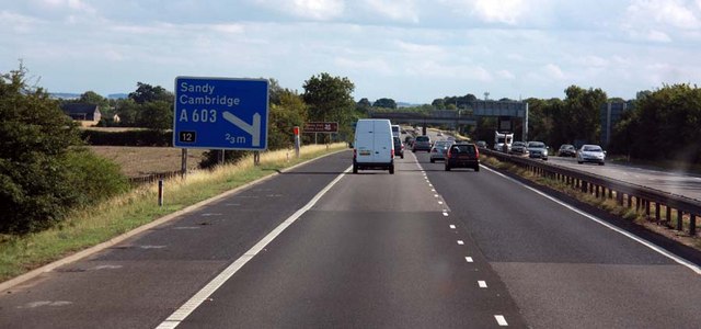
File:M11 approaching junction 12 - Geograph - 1486304.jpg
Jump to navigation
Jump to search

No higher resolution available.
M11_approaching_junction_12_-_Geograph_-_1486304.jpg (640 × 300 pixels, file size: 43 KB, MIME type: image/jpeg)
| |||||||||||||||||||||||||
|
Galleries | M11 | E15 | Fork sign | Haggis Farm Interchange | ||
File history
Click on a date/time to view the file as it appeared at that time.
| Date/Time | Thumbnail | Dimensions | User | Comment | |
|---|---|---|---|---|---|
| current | 16:08, 30 December 2009 | | 640 × 300 (43 KB) | Jeni (talk | contribs) | {{Information |description = M11 approaching junction 12 |day = 18 |month = 07 |year = 2009 |photographer = © Copyright [http://www.geograph.org.uk/profile/9419 John Salmon] and licensed for reuse under [http://creativecommons.or |
File usage
There are no pages that use this file.