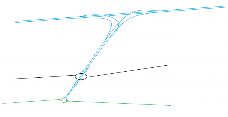
File:M12 (NI) suggested new layout.png
Jump to navigation
Jump to search

Size of this preview: 800 × 410 pixels. Other resolutions: 2,560 × 1,311 pixels | 5,280 × 2,704 pixels.
Original file (5,280 × 2,704 pixels, file size: 91 KB, MIME type: image/png)
| |||||||||||||||||||||||||
|
Galleries | M12 (Northern Ireland) | B2 (Northern Ireland) | A3 (Northern Ireland) | Fantasy Maps | ||
File history
Click on a date/time to view the file as it appeared at that time.
| Date/Time | Thumbnail | Dimensions | User | Comment | |
|---|---|---|---|---|---|
| current | 16:33, 13 December 2020 | | 5,280 × 2,704 (91 KB) | Cals roads (talk | contribs) | M12 new layout (suggested changes) |
File usage
The following 2 pages use this file:
_suggested_new_layout.png&oldid=645699)