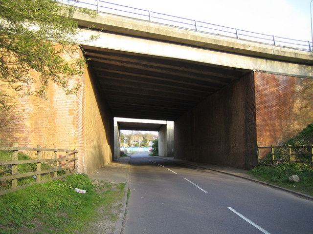
M1 Motorway- Chequers Lane bridge at Junction 6 Two for the price of one here. The near bridge carries the northbound carriageway and the northbound entry slip road at Junction 6, while the far one carries the southbound carriageway. The different building materials suggest that the brick faced near bridge is the original, while the distant concrete one is a later addition, built when the junction was improved.
'''M1 Motorway- Chequers Lane bridge at Junction 6'''<br/>Two for the price of one here. The near bridge carries the northbound carriageway and the northbound entry slip road at Junction 6, while the far one carries the southbound carriageway. The differe
File usage
There are no pages that use this file.
Metadata
This file contains additional information, probably added from the digital camera or scanner used to create or digitise it.
If the file has been modified from its original state, some details may not fully reflect the modified file.
