File:M20 motorway construction at Sandyhurst Lane - Geograph - 1446568.jpg
Jump to navigation
Jump to search

No higher resolution available.
M20_motorway_construction_at_Sandyhurst_Lane_-_Geograph_-_1446568.jpg (640 × 425 pixels, file size: 147 KB, MIME type: image/jpeg)
| |||||||||||||||||||||||||
|
Galleries | M20 | ||
File history
Click on a date/time to view the file as it appeared at that time.
| Date/Time | Thumbnail | Dimensions | User | Comment | |
|---|---|---|---|---|---|
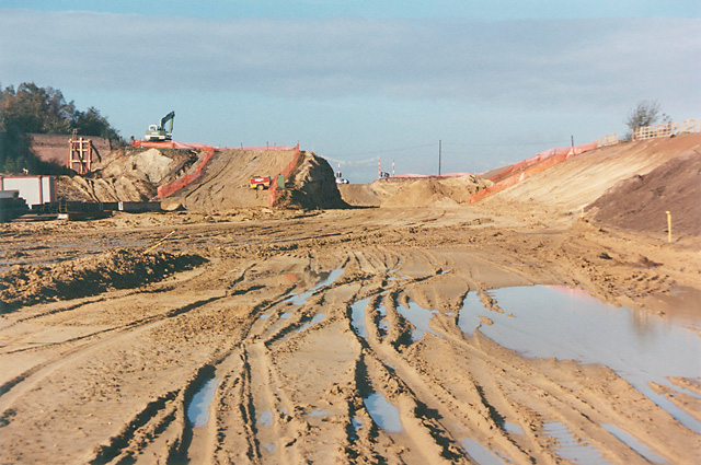
| current | 15:15, 29 August 2009 | | 640 × 425 (147 KB) | Jeni (talk | contribs) | {{Information |description = M20 motorway construction at Sandyhurst Lane |day = 30 |month = 10 |year = 1989 |photographer = © Copyright [http://www.geograph.org.uk/profile/1533 Peter Facey] and licensed for reuse under [http://c |
File usage
There are no pages that use this file.