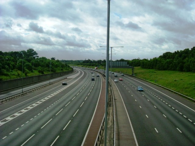
M25 Junction 16 You can just make out the sliproads on either side of the motorway, junction 16 of the M25 & 1a of the M40 taken from Seven Hills Road, Iver.
'''M25 Junction 16'''<br/>You can just make out the sliproads on either side of the motorway, junction 16 of the M25 & 1a of the M40 taken from Seven Hills Road, Iver.
File usage
There are no pages that use this file.
Metadata
This file contains additional information, probably added from the digital camera or scanner used to create or digitise it.
If the file has been modified from its original state, some details may not fully reflect the modified file.
