File:M25 at junction 16 - Geograph - 355719.jpg

From Roader's Digest: The SABRE Wiki
Jump to navigation Jump to search

M25_at_junction_16_-_Geograph_-_355719.jpg(640 × 473 pixels, file size: 54 KB, MIME type: image/jpeg)

Y topleft.gifY topright.gif
Description:M25 at junction 16
M25 clockwise at junction 16. Looking down on slip roads from the M40. A large motorway junction in the Alderbourne valley
Location:51.558294, -0.531928
Road:M25, M40
Date:18 02 2007
Photographer:� Copyright Rob Emms and licensed for reuse under this Creative Commons Licence
Source:Geograph

Map

Y btmleft.gifY btmright.gif

Galleries  | M25 | M40 | GSJ

File history

Click on a date/time to view the file as it appeared at that time.

Date/TimeThumbnailDimensionsUserComment
current21:25, 9 April 2010Thumbnail for version as of 21:25, 9 April 2010640 × 473 (54 KB)Sabristo simon (talk | contribs)
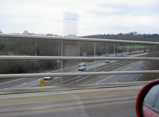
'''M25 at junction 16'''<br/>M25 clockwise at junction 16. Looking down on slip roads from the M40. A large motorway junction in the Alderbourne valley

There are no pages that use this file.

Metadata

SABRE - The Society for All British and Irish Road Enthusiasts
Discuss - Digest - Discover - Help