File:M25 from Mar Dyke - Geograph - 648273.jpg
Jump to navigation
Jump to search

No higher resolution available.
M25_from_Mar_Dyke_-_Geograph_-_648273.jpg (640 × 481 pixels, file size: 177 KB, MIME type: image/jpeg)
| |||||||||||||||||||||||||
|
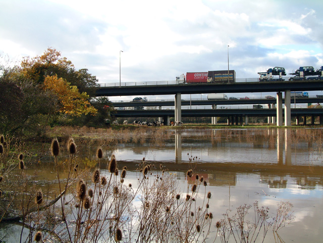
Galleries | M25 | Mar Dyke Interchange | ||
File history
Click on a date/time to view the file as it appeared at that time.
| Date/Time | Thumbnail | Dimensions | User | Comment | |
|---|---|---|---|---|---|
| current | 10:31, 20 May 2010 | | 640 × 481 (177 KB) | Abeaton (talk | contribs) | '''M25 from Mar Dyke'''<br/>The foreground bridge is the Thurrock Services slip road with the main M25 just behind. |
File usage
The following page uses this file: