File:M27 Junction 2 - Geograph - 242137.jpg
Jump to navigation
Jump to search

No higher resolution available.
M27_Junction_2_-_Geograph_-_242137.jpg (640 × 371 pixels, file size: 96 KB, MIME type: image/jpeg)
| |||||||||||||||||||||||||
|
Galleries | M27 | Ower Interchange | ||
File history
Click on a date/time to view the file as it appeared at that time.
| Date/Time | Thumbnail | Dimensions | User | Comment | |
|---|---|---|---|---|---|
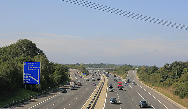
| current | 07:35, 14 June 2016 | | 640 × 371 (96 KB) | Jeni (talk | contribs) | '''M27 Junction 2''' Seen from bridge carrying Wade Hill Drove over M27. This is the reciprocal of 99067. The cables in foreground are part of the 400 KV supergrid. |
File usage
The following 4 pages use this file: