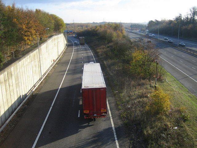
M40 Motorway Junction 1a & M25 Motorway Junction 16 The carriageways on the right are on the M40, while the two lanes to the left are on the slip road from the M40 towards the M25, the left for the northbound M25, the right with the lorry for the southbound M25. This view was taken from the Hawkswood Lane bridge. The motorway junction and its associated infrastructure probably take up about a third of the area of this kilometre grid square.
'''M40 Motorway Junction 1a & M25 Motorway Junction 16'''<br/>The carriageways on the right are on the M40, while the two lanes to the left are on the slip road from the M40 towards the M25, the left for the northbound M25, the right with the lorry for th
File usage
There are no pages that use this file.
Metadata
This file contains additional information, probably added from the digital camera or scanner used to create or digitise it.
If the file has been modified from its original state, some details may not fully reflect the modified file.
