File:M40 Oxon-Warks Boundary - Coppermine - 22497.jpg
Jump to navigation
Jump to search

No higher resolution available.
M40_Oxon-Warks_Boundary_-_Coppermine_-_22497.jpg (800 × 600 pixels, file size: 64 KB, MIME type: image/jpeg)
| |||||||||||||||||||||||||
File history
Click on a date/time to view the file as it appeared at that time.
| Date/Time | Thumbnail | Dimensions | User | Comment | |
|---|---|---|---|---|---|
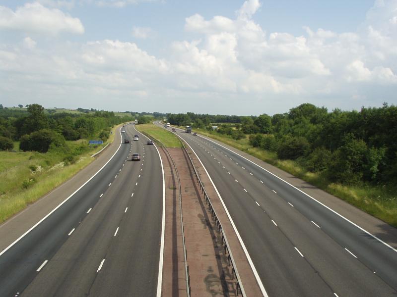
| current | 18:58, 2 February 2010 | | 800 × 600 (64 KB) | Johnny (talk | contribs) | {{Information |description = '''M40 Oxon-Warks Boundary''' South east view from the March Lane Mollington overbridge (SP428 472) showing the Oxfordshire County sign in the distance and the central reservation widening out to dispense with crash barriers |
File usage
There are no pages that use this file.