File:M42 northern terminus.png
Jump to navigation
Jump to search

No higher resolution available.
M42_northern_terminus.png (360 × 188 pixels, file size: 14 KB, MIME type: image/png)
| |||||||||||||||||||||||||
|
Galleries | M42 | A609 | Nottingham | M42 J17 | ||
File history
Click on a date/time to view the file as it appeared at that time.
| Date/Time | Thumbnail | Dimensions | User | Comment | |
|---|---|---|---|---|---|
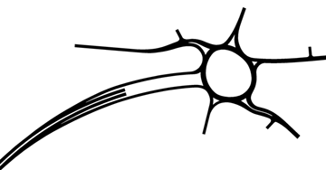
| current | 21:30, 19 February 2014 | | 360 × 188 (14 KB) | Truvelo (talk | contribs) | Early 1970s plan of the northern end of the M42. The original proposed route of the motorway would have taken it further north and it would have joined the M1 to the north of Junction 25. From there it would have conti... |
File usage
The following 4 pages use this file: