File:M50 Southbound - Geograph - 599459.jpg
Jump to navigation
Jump to search

No higher resolution available.
M50_Southbound_-_Geograph_-_599459.jpg (640 × 480 pixels, file size: 82 KB, MIME type: image/jpeg)
| |||||||||||||||||||||||||
|
Galleries | M50 (Republic of Ireland) | Laughanstown Interchange | Sandyford Interchange | ||
File history
Click on a date/time to view the file as it appeared at that time.
| Date/Time | Thumbnail | Dimensions | User | Comment | |
|---|---|---|---|---|---|
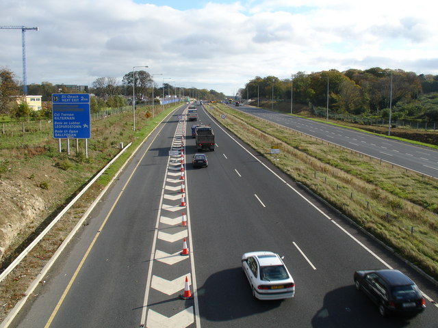
| current | 17:51, 6 February 2019 | | 640 × 480 (82 KB) | Viator (talk | contribs) | The long slip road from the R113/R133 Sandyford roundabout heads towards its merger with the southbound M50 at the east end of junction 14. |
| 17:51, 6 February 2019 |  | 640 × 480 (82 KB) | Viator (talk | contribs) | The long slip road from the R113/R133 Sandyford roundabout heads towards its merger with the southbound M50 at the east end of junction 14. |
File usage
The following 2 pages use this file: