File:M50 from the Sandyford Road Bridge - Geograph - 544663.jpg
Jump to navigation
Jump to search

No higher resolution available.
M50_from_the_Sandyford_Road_Bridge_-_Geograph_-_544663.jpg (640 × 480 pixels, file size: 137 KB, MIME type: image/jpeg)
| |||||||||||||||||||||||||
|
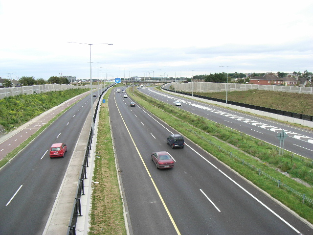
Galleries | M50 (Republic of Ireland) | County Dublin | Sandyford Interchange | ||
File history
Click on a date/time to view the file as it appeared at that time.
| Date/Time | Thumbnail | Dimensions | User | Comment | |
|---|---|---|---|---|---|
| current | 15:27, 4 November 2016 | | 640 × 480 (137 KB) | C2r (talk | contribs) | '''M50 from the Sandyford Road Bridge''' |
File usage
The following 3 pages use this file: