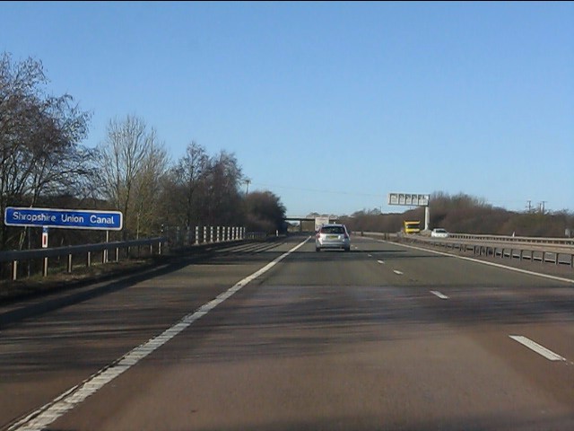
M54 Motorway at the Shropshire Union Canal Why signs like this are provided is a bit of a mystery since they are of no benefit to the average road user, but they are handy for Geographers!
'''M54 Motorway at the Shropshire Union Canal'''<br/>Why signs like this are provided is a bit of a mystery since they are of no benefit to the average road user, but they are handy for Geographers!
File usage
There are no pages that use this file.
Metadata
This file contains additional information, probably added from the digital camera or scanner used to create or digitise it.
If the file has been modified from its original state, some details may not fully reflect the modified file.
