File:M5 above railway.jpg
Jump to navigation
Jump to search

Size of this preview: 392 × 599 pixels. Other resolution: 550 × 840 pixels.
Original file (550 × 840 pixels, file size: 312 KB, MIME type: image/jpeg)
| |||||||||||||||||||||||||
|
Galleries | M5 | ||
File history
Click on a date/time to view the file as it appeared at that time.
| Date/Time | Thumbnail | Dimensions | User | Comment | |
|---|---|---|---|---|---|
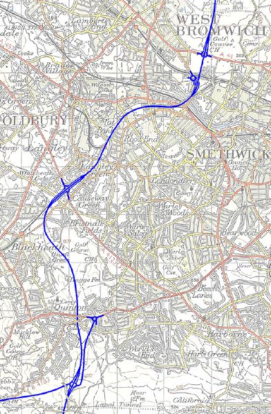
| current | 10:57, 28 February 2014 | | 550 × 840 (312 KB) | Truvelo (talk | contribs) | The original plan for the M5 between junctions 1 and 3 was to have it above the railway due to apparent lack of open land and to minimise community severance. Initially it was proposed to build it to D2M standards on a single level viaduct but this... |
File usage
The following page uses this file: