File:M60 Worsley - Geograph - 2473385.jpg
Jump to navigation
Jump to search

No higher resolution available.
M60_Worsley_-_Geograph_-_2473385.jpg (640 × 480 pixels, file size: 69 KB, MIME type: image/jpeg)
| |||||||||||||||||||||||||
|
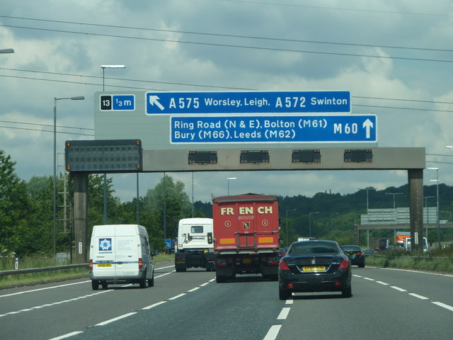
Galleries | M60 | Worsley Interchange | Gantry Sign | ||
File history
Click on a date/time to view the file as it appeared at that time.
| Date/Time | Thumbnail | Dimensions | User | Comment | |
|---|---|---|---|---|---|
| current | 20:22, 1 June 2016 | | 640 × 480 (69 KB) | Jeni (talk | contribs) | '''M60 Worsley''' Approaching junction 13 for Worsley and Leigh on the M60 from a clockwise direction. |
File usage
The following 3 pages use this file: