File:M62 Triangulation Monument near Stott Hall Farm. - Coppermine - 16885.JPG
Jump to navigation
Jump to search

Size of this preview: 800 × 533 pixels. Other resolution: 1,128 × 752 pixels.
Original file (1,128 × 752 pixels, file size: 498 KB, MIME type: image/jpeg)
| ||||||||||||||
|
Galleries | M62 | ||
File history
Click on a date/time to view the file as it appeared at that time.
| Date/Time | Thumbnail | Dimensions | User | Comment | |
|---|---|---|---|---|---|
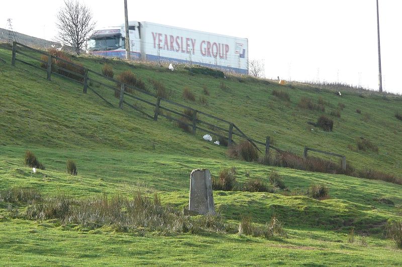
| current | 11:07, 27 February 2010 | | 1,128 × 752 (498 KB) | Jeni (talk | contribs) | {{Information |description = '''M62 Triangulation Monument near Stott Hall Farm.''' From the Motorway Archive; 'Because of the scarcity of...reference points for the original survey a comprehensive system of monuments had been positioned over the whole s |
File usage
There are no pages that use this file.