File:M6 Expressway strip map.GIF
Jump to navigation
Jump to search

Size of this preview: 120 × 600 pixels. Other resolution: 200 × 1,000 pixels.
Original file (200 × 1,000 pixels, file size: 12 KB, MIME type: image/gif)
| ||||||||||||||
|
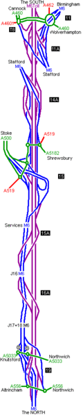
Galleries | M6 Toll | Strip Maps | ||
File history
Click on a date/time to view the file as it appeared at that time.
| Date/Time | Thumbnail | Dimensions | User | Comment | |
|---|---|---|---|---|---|
| current | 18:06, 19 October 2009 | 200 × 1,000 (12 KB) | Sabristo simon (talk | contribs) | {{Information |description = Strip Map of M6E |day = |month = |year = |photographer = |source = South Staffs council |road = M6 Toll |lat = |lng = }} |
File usage
There are no pages that use this file.