File:M74 north of Junction 5 (Raith Interchange) - Geograph - 1617923.jpg
Jump to navigation
Jump to search

No higher resolution available.
M74_north_of_Junction_5_(Raith_Interchange)_-_Geograph_-_1617923.jpg (640 × 480 pixels, file size: 65 KB, MIME type: image/jpeg)
| |||||||||||||||||||||||||
|
Galleries | M74 | Raith Interchange | D3M | ||
File history
Click on a date/time to view the file as it appeared at that time.
| Date/Time | Thumbnail | Dimensions | User | Comment | |
|---|---|---|---|---|---|
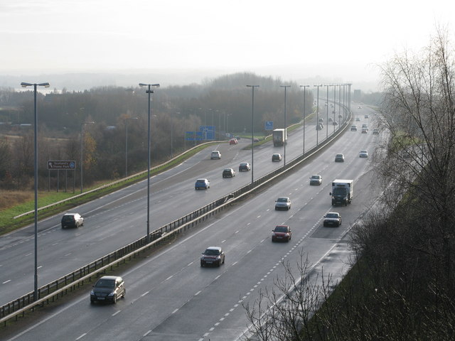
| current | 16:50, 31 December 2010 | | 640 × 480 (65 KB) | Abeaton (talk | contribs) | '''M74 north of Junction 5 (Raith Interchange)'''<br/>Looking south towards the Raith Interchange, a notorious bottleneck at commuter time. |
File usage
The following 2 pages use this file:
_-_Geograph_-_1617923.jpg&oldid=233576)