File:M7 Kildare bypass - Coppermine - 2885.JPG
Jump to navigation
Jump to search

Size of this preview: 800 × 600 pixels. Other resolution: 1,280 × 960 pixels.
Original file (1,280 × 960 pixels, file size: 476 KB, MIME type: image/jpeg)
| |||||||||||||||||||||||||
|
Galleries | R415 | M7 (Republic of Ireland) | Fork sign | D2M | Kildare Interchange | ||
File history
Click on a date/time to view the file as it appeared at that time.
| Date/Time | Thumbnail | Dimensions | User | Comment | |
|---|---|---|---|---|---|
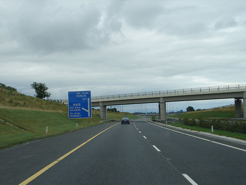
| current | 11:18, 4 June 2010 | | 1,280 × 960 (476 KB) | Bob@romiley1 (talk | contribs) | '''M7 Kildare bypass''' This shows the typical motorway "fork" sign, used extensively on Irish motorways and improved dual carriageways. The completion in 2003 and 2004 of the Kildare and Monasterevin bypasses means there is now 63 km of continuous motor |
File usage
The following 4 pages use this file: