File:M8 - Looking West from Junction 15 - Geograph - 1015638.jpg
Jump to navigation
Jump to search

No higher resolution available.
M8_-_Looking_West_from_Junction_15_-_Geograph_-_1015638.jpg (640 × 480 pixels, file size: 82 KB, MIME type: image/jpeg)
| |||||||||||||||||||||||||
|
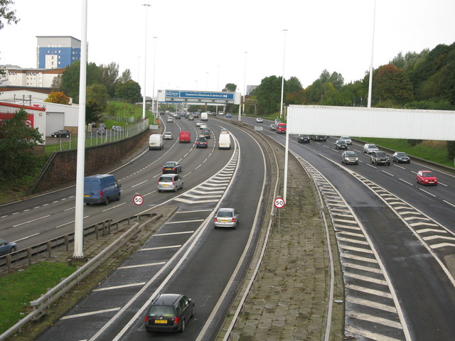
Galleries | M8 | Glasgow Inner Ring Road | Glasgow | ||
File history
Click on a date/time to view the file as it appeared at that time.
| Date/Time | Thumbnail | Dimensions | User | Comment | |
|---|---|---|---|---|---|
| current | 22:50, 30 June 2021 | | 640 × 480 (82 KB) | Tam nugent (talk | contribs) | '''M8 - Looking West from Junction 15''' Junction 15 is the Townhead interchange on the M8. The photograph shows the unusual situation on an urban motorway of a sliproad onto the westbound carriageway and a sliproad from the eastbound carriageway coming on to and leaving from the outside lane of the motorway. A similar situation exists about a mile and half west of this at Junction 18. |
File usage
There are no pages that use this file.