File:M8 Cashel - Mitchelstown - Coppermine - 21070.JPG
Jump to navigation
Jump to search

Size of this preview: 800 × 409 pixels. Other resolution: 1,270 × 650 pixels.
Original file (1,270 × 650 pixels, file size: 204 KB, MIME type: image/jpeg)
| |||||||||||||||||||||||||
|
Galleries | M8 (Republic of Ireland) | Cashel | Mitchelstown | Fork sign | Cahir North Interchange | D2M | County Tipperary | ||
File history
Click on a date/time to view the file as it appeared at that time.
| Date/Time | Thumbnail | Dimensions | User | Comment | |
|---|---|---|---|---|---|
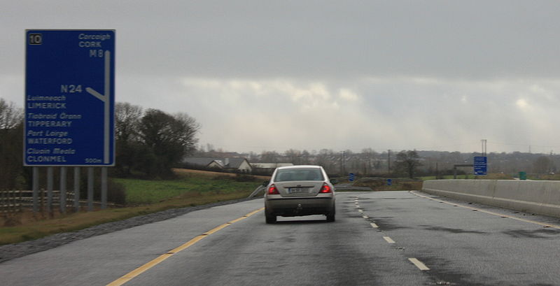
| current | 10:23, 28 May 2010 | | 1,270 × 650 (204 KB) | Bob@romiley1 (talk | contribs) | '''M8 Cashel - Mitchelstown''' This section was originally opened as the N8, and was subsequently reclassified as M8 in September 2008. The road had a solid hard shoulder from its opening earlier in the year, so only the signage had to be changed. <smal |
File usage
The following 4 pages use this file: