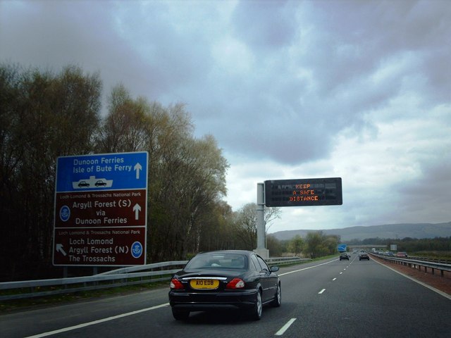
M8 westbound Most of this square is within ROF (Royal Ordnance Factory) Bishopton, the remainder is mostly motorway or railway track, with little or no land accessible on foot by the general public. The matrix sign is used to warn drivers of any delays on or around the Erskine Bridge. There is a similar one on the eastbound approach to the bridge.
'''M8 westbound''' Most of this square is within ROF (Royal Ordnance Factory) Bishopton, the remainder is mostly motorway or railway track, with little or no land accessible on foot by the general public. The matrix sign is used to warn drivers of any delays on or around the Erskine Bridge. There is a similar one on the eastbound approach to the bridge.
File usage
There are no pages that use this file.
Metadata
This file contains additional information, probably added from the digital camera or scanner used to create or digitise it.
If the file has been modified from its original state, some details may not fully reflect the modified file.
