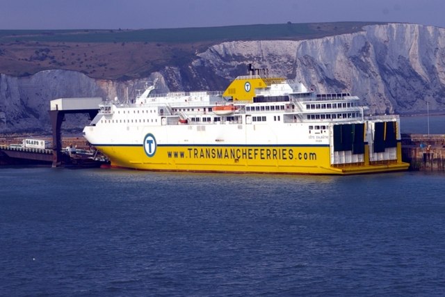
File:MV Côte d’Albâtre at Dover - Geograph - 1272618.jpg
Jump to navigation
Jump to search

No higher resolution available.
MV_Côte_d’Albâtre_at_Dover_-_Geograph_-_1272618.jpg (640 × 427 pixels, file size: 62 KB, MIME type: image/jpeg)
| |||||||||||||||||||||||||
|
Galleries | A2 | A20 | Dover - Boulogne ferry | Dover Eastern Docks | ||
File history
Click on a date/time to view the file as it appeared at that time.
| Date/Time | Thumbnail | Dimensions | User | Comment | |
|---|---|---|---|---|---|
| current | 09:16, 10 October 2009 | | 640 × 427 (62 KB) | Abeaton (talk | contribs) | {{Information |description = MV Côte d’Albâtre at Dover |day = 19 |month = 04 |year = 2009 |photographer = © Copyright [http://www.geograph.org.uk/profile/12972 James Yardley] and licensed for reuse under [http://creativecomm |
File usage
The following 4 pages use this file: