File:Magazine Road, Ashford (C) Richard Dorrell - Geograph - 1441891.jpg
Jump to navigation
Jump to search

No higher resolution available.
Magazine_Road,_Ashford_(C)_Richard_Dorrell_-_Geograph_-_1441891.jpg (640 × 480 pixels, file size: 124 KB, MIME type: image/jpeg)
| |||||||||||||||||||||||||
|
Galleries | A292 (Magazine Road, Ashford) | B2072 (Ashford) | ||
File history
Click on a date/time to view the file as it appeared at that time.
| Date/Time | Thumbnail | Dimensions | User | Comment | |
|---|---|---|---|---|---|
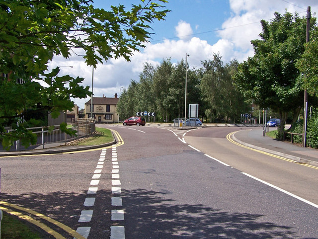
| current | 20:07, 18 January 2014 | | 640 × 480 (124 KB) | Vlad (talk | contribs) | '''Magazine Road, Ashford (C) Richard Dorrell '''<br/>With Kent Avenue on the left and the A292 crossing at the roundabout ahead.<br /> The building on the left beyond the roundabout is the Prince Albert pub. <a href="http://www.geograph.org.uk/photo/... |
File usage
The following 4 pages use this file:
_Richard_Dorrell_-_Geograph_-_1441891.jpg&oldid=361564)