File:Main Street, Strabane - Geograph - 1082566.jpg
Jump to navigation
Jump to search

No higher resolution available.
Main_Street,_Strabane_-_Geograph_-_1082566.jpg (640 × 479 pixels, file size: 52 KB, MIME type: image/jpeg)
| |||||||||||||||||||||||||
|
Galleries | B85 (Northern Ireland) | Central Sperrins Scenic Driving Route | Flag Sign | Strabane | ||
File history
Click on a date/time to view the file as it appeared at that time.
| Date/Time | Thumbnail | Dimensions | User | Comment | |
|---|---|---|---|---|---|
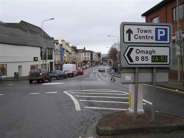
| current | 19:07, 3 February 2011 | | 640 × 479 (52 KB) | Si404 (talk | contribs) | '''Main Street, Strabane'''<br/>Looking NNW at the turn-off to Bridge Street |
File usage
The following 3 pages use this file: