File:Mamore Gap.jpg
Jump to navigation
Jump to search

Size of this preview: 799 × 599 pixels. Other resolution: 1,521 × 1,141 pixels.
Original file (1,521 × 1,141 pixels, file size: 633 KB, MIME type: image/jpeg)
| |||||||||||||||||||||||||
|
Galleries | Apparently unclassified | Photo of the Month April 2017 | ||
File history
Click on a date/time to view the file as it appeared at that time.
| Date/Time | Thumbnail | Dimensions | User | Comment | |
|---|---|---|---|---|---|
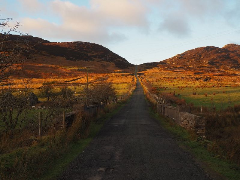
| current | 20:14, 8 March 2017 | | 1,521 × 1,141 (633 KB) | Owain (talk | contribs) | The Mamore Gap is an ancient pass over the mountains between the centre of the Inishowen peninsula and the Atlantic Coast, in County Donegal. |
File usage
There are no pages that use this file.