File history
Click on a date/time to view the file as it appeared at that time.
| Date/Time | Thumbnail | Dimensions | User | Comment |
|---|
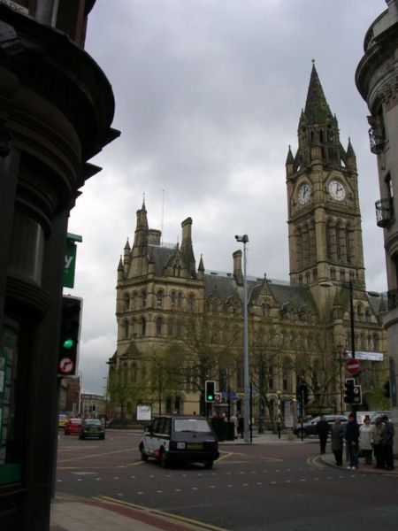
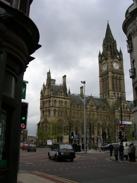
| current | 22:26, 1 December 2009 | 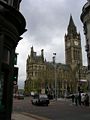 | 480 × 640 (55 KB) | Abeaton (talk | contribs) | {{Information |description = Manchester Town Hall |day = 13 |month = 04 |year = 2005 |photographer = © Copyright [http://www.geograph.org.uk/profile/104 Keith Williamson] and licensed for reuse under [http://creativecommons.org/l |
File usage
The following page uses this file:
This file contains additional information, probably added from the digital camera or scanner used to create or digitise it.
If the file has been modified from its original state, some details may not fully reflect the modified file.