File:Mann Island (C) Richard Hoare - Geograph - 3396300.jpg
Jump to navigation
Jump to search

No higher resolution available.
Mann_Island_(C)_Richard_Hoare_-_Geograph_-_3396300.jpg (640 × 480 pixels, file size: 62 KB, MIME type: image/jpeg)
| |||||||||||||||||||||||||
File history
Click on a date/time to view the file as it appeared at that time.
| Date/Time | Thumbnail | Dimensions | User | Comment | |
|---|---|---|---|---|---|
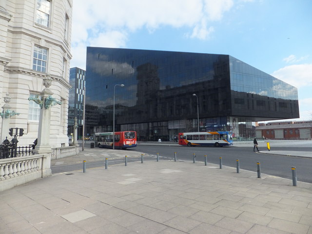
| current | 15:53, 30 September 2014 | | 640 × 480 (62 KB) | Vlad (talk | contribs) | '''Mann Island (C) Richard Hoare '''<br/>With the reflection of the Port of Liverpool Authority building. |
File usage
The following 2 pages use this file:
_Richard_Hoare_-_Geograph_-_3396300.jpg&oldid=388152)