File:Mannings Heath Roundabout 1971 proposal.png
Jump to navigation
Jump to search

No higher resolution available.
Mannings_Heath_Roundabout_1971_proposal.png (410 × 600 pixels, file size: 50 KB, MIME type: image/png)
File history
Click on a date/time to view the file as it appeared at that time.
| Date/Time | Thumbnail | Dimensions | User | Comment | |
|---|---|---|---|---|---|
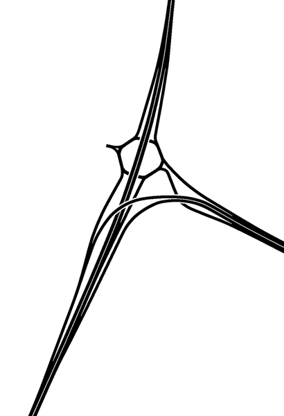
| current | 22:14, 2 October 2020 | | 410 × 600 (50 KB) | Truvelo (talk | contribs) | The original plan for Mannings Heath Roundabout from the early 1970s |
File usage
The following 4 pages use this file: