File:Map1932 6-1.jpg
Jump to navigation
Jump to search

Size of this preview: 696 × 599 pixels. Other resolution: 1,752 × 1,509 pixels.
Original file (1,752 × 1,509 pixels, file size: 1.31 MB, MIME type: image/jpeg)
| ||||||||||||||
|
Galleries | 1932 OS 10 Miles to 1in | ||
File history
Click on a date/time to view the file as it appeared at that time.
| Date/Time | Thumbnail | Dimensions | User | Comment | |
|---|---|---|---|---|---|
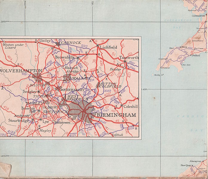
| current | 20:38, 9 January 2010 | | 1,752 × 1,509 (1.31 MB) | Jimbo (talk | contribs) | {{Information |description = 1932 Ordnance Survey 10 miles to the inch map of the UK featuring the Ministry of Transport road numbers. Section 6-1, featuring Birmingham close up and far west sections of Wales. |day = |month = |year |
File usage
There are no pages that use this file.