File:Maps gridref.PNG
Jump to navigation
Jump to search

No higher resolution available.
Maps_gridref.PNG (227 × 143 pixels, file size: 7 KB, MIME type: image/png)
| ||||||||||||||
|
Galleries | Help:Contents | ||
File history
Click on a date/time to view the file as it appeared at that time.
| Date/Time | Thumbnail | Dimensions | User | Comment | |
|---|---|---|---|---|---|
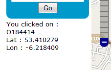
| current | 19:22, 23 April 2012 | | 227 × 143 (7 KB) | Steven (talk | contribs) | Screenshot of SABRE Maps showing grid references |
File usage
The following 3 pages use this file: