File:Marraway Island Direction Sign - Coppermine - 12430.jpg
Jump to navigation
Jump to search

No higher resolution available.
Marraway_Island_Direction_Sign_-_Coppermine_-_12430.jpg (640 × 480 pixels, file size: 55 KB, MIME type: image/jpeg)
| ||||||||||||||
|
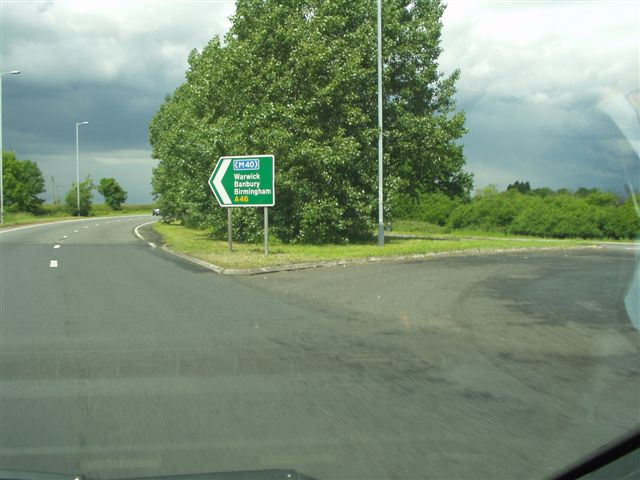
Galleries | A46 | ||
File history
Click on a date/time to view the file as it appeared at that time.
| Date/Time | Thumbnail | Dimensions | User | Comment | |
|---|---|---|---|---|---|
| current | 11:40, 27 February 2010 | | 640 × 480 (55 KB) | Jeni (talk | contribs) | {{Information |description = '''Marraway Island Direction Sign''' Direction sign at Marraway Island heading northeast towards Longbridge Island. This is the point where the A46 becomes D2 towards Longbridge and behind you from the Stratford direction it |
File usage
There are no pages that use this file.