File:Marsh Lane, Bootle (C) Colin Pyle - Geograph - 1537065.jpg
Jump to navigation
Jump to search

No higher resolution available.
Marsh_Lane,_Bootle_(C)_Colin_Pyle_-_Geograph_-_1537065.jpg (640 × 480 pixels, file size: 68 KB, MIME type: image/jpeg)
| |||||||||||||||||||||||||
File history
Click on a date/time to view the file as it appeared at that time.
| Date/Time | Thumbnail | Dimensions | User | Comment | |
|---|---|---|---|---|---|
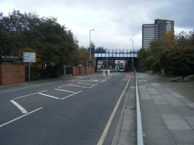
| current | 16:52, 7 October 2014 | | 640 × 480 (68 KB) | Vlad (talk | contribs) | '''Marsh Lane, Bootle (C) Colin Pyle '''<br/>Looking east, with the Northern Line railway bridge ahead. |
File usage
The following 4 pages use this file:
_Colin_Pyle_-_Geograph_-_1537065.jpg&oldid=388624)