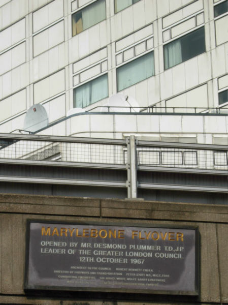
File:Marylebone Flyover - Geograph - 414142.jpg
Jump to navigation
Jump to search

Size of this preview: 449 × 600 pixels. Other resolution: 479 × 640 pixels.
Original file (479 × 640 pixels, file size: 89 KB, MIME type: image/jpeg)
| |||||||||||||||||||||||||
|
Galleries | A40 | A40/Central London - Denham | Marylebone Flyover | ||
File history
Click on a date/time to view the file as it appeared at that time.
| Date/Time | Thumbnail | Dimensions | User | Comment | |
|---|---|---|---|---|---|
| current | 14:54, 23 September 2009 | | 479 × 640 (89 KB) | Abeaton (talk | contribs) | {{Information |description = Marylebone Flyover |day = 26 |month = 04 |year = 2007 |photographer = © Copyright [http://www.geograph.org.uk/profile/1621 Stephen McKay] and licensed for reuse under [http://creativecommons.org/licen |
File usage
The following 3 pages use this file: