File:Matlock.jpg
Jump to navigation
Jump to search

Size of this preview: 450 × 600 pixels. Other resolution: 1,944 × 2,592 pixels.
Original file (1,944 × 2,592 pixels, file size: 1,005 KB, MIME type: image/jpeg)
| |||||||||||||||||||||||||
|
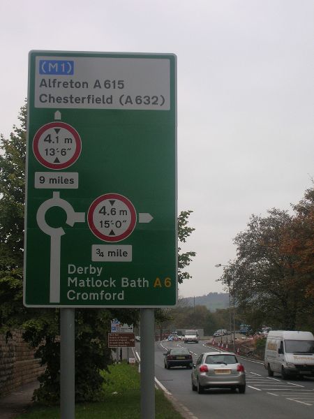
Galleries | A6 | A615 | A6 route | Matlock | Matlock | Advance Direction Sign | ||
File history
Click on a date/time to view the file as it appeared at that time.
| Date/Time | Thumbnail | Dimensions | User | Comment | |
|---|---|---|---|---|---|
| current | 22:41, 11 October 2011 | | 1,944 × 2,592 (1,005 KB) | Simon a6(m) (talk | contribs) | Just north of the Matlock relief road, looking south |
File usage
The following 2 pages use this file:
- A615
- File:Matlock (file redirect)