File:Maud Heath's causeway - Geograph - 309955.jpg
Jump to navigation
Jump to search

No higher resolution available.
Maud_Heath's_causeway_-_Geograph_-_309955.jpg (606 × 448 pixels, file size: 139 KB, MIME type: image/jpeg)
| |||||||||||||||||||||||||
|
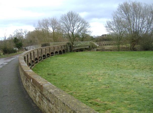
Galleries | Maud Heaths Causeway | ||
File history
Click on a date/time to view the file as it appeared at that time.
| Date/Time | Thumbnail | Dimensions | User | Comment | |
|---|---|---|---|---|---|
| current | 18:07, 4 June 2010 | | 606 × 448 (139 KB) | Rileyrob (talk | contribs) | '''Maud Heath's causeway'''<br/>A different view, showing the River Avon crossing. |
File usage
The following page uses this file: