File:McInroy's Point ferry terminal - Geograph - 839270.jpg
Jump to navigation
Jump to search

No higher resolution available.
McInroy's_Point_ferry_terminal_-_Geograph_-_839270.jpg (640 × 480 pixels, file size: 103 KB, MIME type: image/jpeg)
| |||||||||||||||||||||||||
|
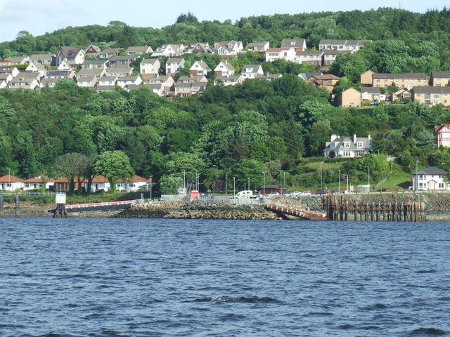
Galleries | A770 | McInroy's Point | Gourock | Ferries | ||
File history
Click on a date/time to view the file as it appeared at that time.
| Date/Time | Thumbnail | Dimensions | User | Comment | |
|---|---|---|---|---|---|
| current | 21:35, 7 March 2021 | | 640 × 480 (103 KB) | Tam nugent (talk | contribs) | Western Ferries operate a frequent service between here and Hunter's Quay near Dunoon. |