File:McIntyre's Filling Station at the junction of the N56 and the R925 - Geograph - 3245410.jpg
Jump to navigation
Jump to search

No higher resolution available.
McIntyre's_Filling_Station_at_the_junction_of_the_N56_and_the_R925_-_Geograph_-_3245410.jpg (640 × 323 pixels, file size: 59 KB, MIME type: image/jpeg)
| |||||||||||||||||||||||||
|
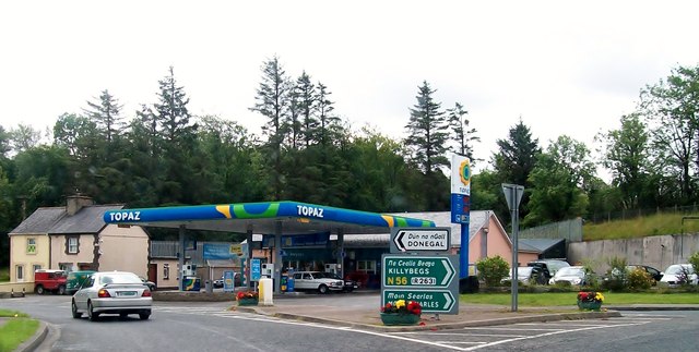
Galleries | N56 | R925 | Wild Atlantic Way | Petrol station | ||
File history
Click on a date/time to view the file as it appeared at that time.
| Date/Time | Thumbnail | Dimensions | User | Comment | |
|---|---|---|---|---|---|
| current | 21:05, 28 July 2014 | | 640 × 323 (59 KB) | Viator (talk | contribs) | McIntyre's Filling Station at the junction of the N56 and the R925 (left) north-west of Donegal town centre |
File usage
The following 3 pages use this file: