File:Meir Tunnel (under construction) - Geograph - 3262879.jpg
Jump to navigation
Jump to search

No higher resolution available.
Meir_Tunnel_(under_construction)_-_Geograph_-_3262879.jpg (640 × 452 pixels, file size: 91 KB, MIME type: image/jpeg)
| |||||||||||||||||||||||||
|
Galleries | A50 | Meir Tunnel | Meir Interchange | ||
File history
Click on a date/time to view the file as it appeared at that time.
| Date/Time | Thumbnail | Dimensions | User | Comment | |
|---|---|---|---|---|---|
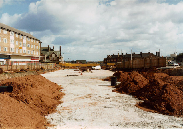
| current | 12:07, 1 June 2016 | | 640 × 452 (91 KB) | Jeni (talk | contribs) | '''Meir Tunnel (under construction)''' Taken during the construction of the tunnel which takes the A50 trunk road under the centre of Meir. In the distance centre-left of the photo is the now-demolished Kings Arms public house. A new Meir Health Centre... |
File usage
There are no pages that use this file.
_-_Geograph_-_3262879.jpg&oldid=417156)