File:Melksham-1959.jpg
Jump to navigation
Jump to search

Size of this preview: 800 × 537 pixels. Other resolution: 917 × 615 pixels.
Original file (917 × 615 pixels, file size: 183 KB, MIME type: image/jpeg)
| |||||||||||||||||||||||||
|
Galleries | A350 | A365 | A3053 | OS One Inch | A3102 | B3102 | B3107 | B3104 (Melksham) | B3112 (Melksham) | ||
File history
Click on a date/time to view the file as it appeared at that time.
| Date/Time | Thumbnail | Dimensions | User | Comment | |
|---|---|---|---|---|---|
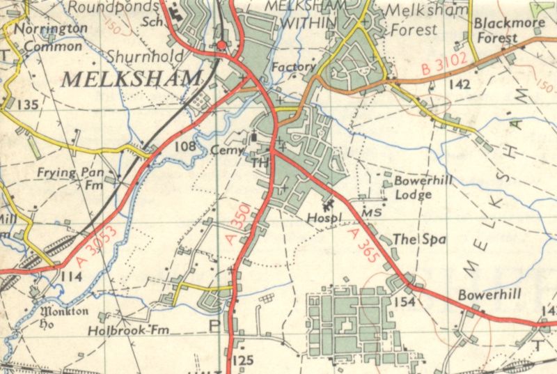
| current | 16:10, 15 January 2010 | | 917 × 615 (183 KB) | Rileyrob (talk | contribs) | {{Information |description = Melksham in 1959 |day = |month = |year = 1959 |photographer = |source = OS 7th Series Sheet 166 |road = A350 |road2 = A365 |road3 = A3053 |lat = 51.3702801 |lng |
File usage
The following 8 pages use this file: