File:Merantun Way Extension 1990.png

Original file (1,378 × 649 pixels, file size: 1.59 MB, MIME type: image/png)
| ||||||||||||||
|
Galleries | A238 | A24 | Merton | A-Z Mapping | ||
File history
Click on a date/time to view the file as it appeared at that time.
| Date/Time | Thumbnail | Dimensions | User | Comment | |
|---|---|---|---|---|---|
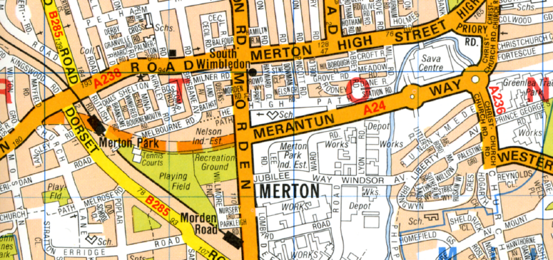
| current | 00:51, 18 December 2017 | | 1,378 × 649 (1.59 MB) | C2r (talk | contribs) | Scan from 1990 A-Z London showing Merantun Way extension proposed. The extension was never built, leaving Merton High Street unbypassed. {{newmap}} |
File usage
The following 2 pages use this file: