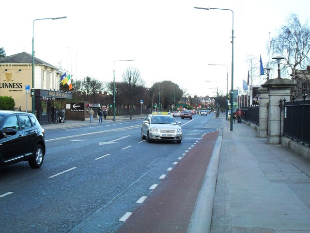
Merrion Road, Dublin 4 A busy thoroughfare through the wealthy Dublin suburb of Ballsbridge. To the left of the image is the Allied Irish Bank headquarters, to the right is the entrance to the R.D.S. (Royal Dublin Society) complex.
'''Merrion Road, Dublin 4'''<br/>A busy thoroughfare through the wealthy Dublin suburb of Ballsbridge. To the left of the image is the Allied Irish Bank headquarters, to the right is the entrance to the R.D.S. (Royal Dublin Society) complex.
File usage
There are no pages that use this file.
Metadata
This file contains additional information, probably added from the digital camera or scanner used to create or digitise it.
If the file has been modified from its original state, some details may not fully reflect the modified file.
