File:Merrymeet Roundabout - Geograph - 62868.jpg
Jump to navigation
Jump to search

No higher resolution available.
Merrymeet_Roundabout_-_Geograph_-_62868.jpg (640 × 480 pixels, file size: 75 KB, MIME type: image/jpeg)
| |||||||||||||||||||||||||
|
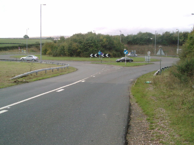
Galleries | A30 | C50 (Devon) | Whiddon Down Junction | ||
File history
Click on a date/time to view the file as it appeared at that time.
| Date/Time | Thumbnail | Dimensions | User | Comment | |
|---|---|---|---|---|---|
| current | 15:25, 6 January 2017 | | 640 × 480 (75 KB) | Jeni (talk | contribs) | '''Merrymeet Roundabout''' Merrymeet roundabout Situated on the A30 app 18 miles west of Exeter. Merrymeet is the cause of many summer traffic problems and is to be replaced by a flyover for local traffic by Easter 2007 |
File usage
The following 3 pages use this file: