File:Michelin-1930s.jpg
Jump to navigation
Jump to search

Size of this preview: 270 × 598 pixels. Other resolution: 361 × 800 pixels.
Original file (361 × 800 pixels, file size: 239 KB, MIME type: image/jpeg)
| |||||||||||||||||||||||||
|
Galleries | Michelin Mapping | ||
File history
Click on a date/time to view the file as it appeared at that time.
| Date/Time | Thumbnail | Dimensions | User | Comment | |
|---|---|---|---|---|---|
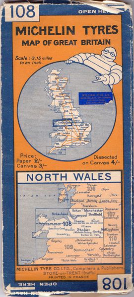
| current | 11:47, 6 March 2012 | | 361 × 800 (239 KB) | Rileyrob (talk | contribs) | Typical cover of 1930s Michelin mapping of UK, showing sheet coverage. |
File usage
The following page uses this file: