File:Middlewich Road (A530), N Nantwich - Geograph - 257169.jpg

From Roader's Digest: The SABRE Wiki
Jump to navigation Jump to search

Middlewich_Road_(A530),_N_Nantwich_-_Geograph_-_257169.jpg(640 × 468 pixels, file size: 171 KB, MIME type: image/jpeg)

Y topleft.gifY topright.gif
Description:
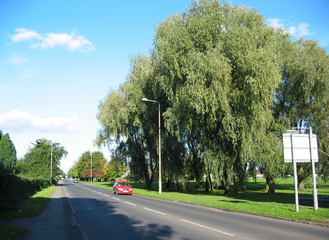
Middlewich Road (A530), N Nantwich Broad road on the outskirts of Nantwich. The recreational grounds at The Barony are on the right, St Mary's Cemetery and the retail park on Beam Heath Way are on the left
Location:53.074002, -2.517891
Road:B5334
Date:09 10 2006
Photographer:(c) Copyright Espresso Addict and licensed for reuse under this Creative Commons Licence
Source:Geograph

Map

Y btmleft.gifY btmright.gif

Galleries  | B5334

File history

Click on a date/time to view the file as it appeared at that time.

Date/TimeThumbnailDimensionsUserComment
current19:54, 6 July 2016Thumbnail for version as of 19:54, 6 July 2016640 × 468 (171 KB)Vlad (talk | contribs)'''Middlewich Road (A530), N Nantwich''' Broad road on the outskirts of Nantwich. The recreational grounds at The Barony are on the right, St Mary's Cemetery and the retail park on Beam Heath Way are on the left

The following 2 pages use this file:

Metadata

SABRE - The Society for All British and Irish Road Enthusiasts
Discuss - Digest - Discover - Help