File:Milestone at Stratford - Geograph - 1284756.jpg
Jump to navigation
Jump to search

Size of this preview: 450 × 600 pixels. Other resolution: 480 × 640 pixels.
Original file (480 × 640 pixels, file size: 68 KB, MIME type: image/jpeg)
| |||||||||||||||||||||||||
|
Galleries | A38 | ||
File history
Click on a date/time to view the file as it appeared at that time.
| Date/Time | Thumbnail | Dimensions | User | Comment | |
|---|---|---|---|---|---|
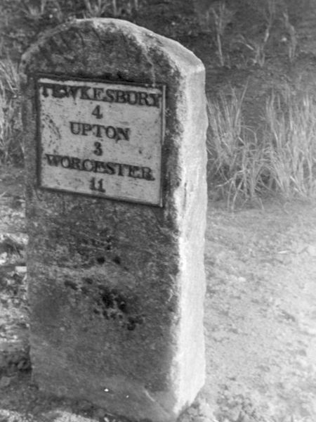
| current | 23:20, 6 September 2009 | | 480 × 640 (68 KB) | Jeni (talk | contribs) | {{Information |description = Milestone at Stratford |day = |month = |year = 1970 |photographer = © Copyright [http://www.geograph.org.uk/profile/22869 John Bayes] and licensed for reuse under [http://creativecommons.org/license |
File usage
There are no pages that use this file.