File:Mill Lane crossing the Lymington River east of Brockenhurst, New Forest - Geograph - 170820.jpg
Jump to navigation
Jump to search

Size of this preview: 450 × 600 pixels. Other resolution: 480 × 640 pixels.
Original file (480 × 640 pixels, file size: 195 KB, MIME type: image/jpeg)
| |||||||||||||||||||||||||
|
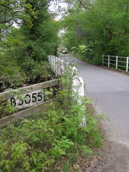
Galleries | B3055 | Pre-Worboys Direction Signs | ||
File history
Click on a date/time to view the file as it appeared at that time.
| Date/Time | Thumbnail | Dimensions | User | Comment | |
|---|---|---|---|---|---|
| current | 12:55, 9 June 2011 | | 480 × 640 (195 KB) | Viator (talk | contribs) | Pre-Worboys sign on the B3055 east of Brockenhurst |
File usage
There are no pages that use this file.